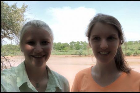
Something that we love to do here at Backyard Geology is lead trips into the field to experience geology live and up close. This week, we visited the banks of the Rio Grande River as it passes through Albuquerque, New Mexico to bring you our very first “vlog” (video blog)! First, we’d like to give you a little introduction to the Rio Grande River and some of the tools that water scientists use to monitor the health of rivers, lakes, ponds, and other water bodies.
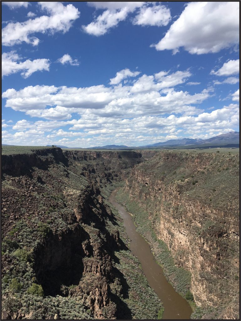
The Rio Grande River (meaning “Big River” in Spanish) begins its journey in the San Juan Range of the Rocky Mountains in south-central Colorado1. We call the start of a river the “headwater”. The river travels southward into New Mexico through some pretty spectacular scenery. For example, in Taos, New Mexico the Rio Grande River has cut downward (we call this erosion) through layers of volcanic rock to form the 800-foot-deep Rio Grande Gorge2.

The Rio Grande River flows through Albuquerque, where it provides much-needed water for plant and animal life to thrive along its banks. In Albuquerque, we call this region along the river the “bosque” (meaning “forest” in Spanish). The Rio Grande River then flows eastward through Texas until it empties into the Gulf of Mexico. We call the location where a river enters a larger body of water (like the Gulf of Mexico) a delta.
Water science at the river
There are many ways that geoscientists monitor the health of river water. In our vlog, we discuss pH (a measure of how acidic or basic water is) and turbidity (or the amount of sediment being carried by the river water). To monitor the amount of water in the river, geoscientists will measure the height of river water using streamgages or river discharge (measured in cubic feet of water per second). Generally, these two measurements will increase after a large amount of precipitation or in the spring when snow melt inundates a river with higher water volume.
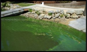
To monitor the chemistry of the river, geoscientists will measure the concentration of nitrogen, metals, and the amount of dissolved oxygen in the water. These components are important indicators of water health. For example, nitrogen is found in fertilizers. Runoff (water that flows from the land into a body of water) from farms may introduce too much nitrogen into a body of water. This can cause an overabundance of algae, using up the valuable dissolved oxygen that is needed by other aquatic organisms such as fish. If you’ve ever seen water that appears very green, an algae bloom may be the cause4.

Do you want to check out the data for a river near you? The United States Geological Survey (USGS) provides information on over 13,500 water monitoring stations across the United States on their National Water Dashboard. Check it out, along with our visit to the Rio Grande River in our first vlog below!
1st Vlog Here!
Video by: Jessica Johnson
References:
1Rio Grande, New Mexico. https://www.rivers.gov/rivers/rio-grande-nm.php, National Wild and Scenic Rivers System, accessed 21 July, 2021.
2Rio Grande del Norte Monument. https://www.blm.gov/visit/rgdnnm, Bureau of Land Management, accessed 21 July, 2021.
3Rio Grande Gorge Bridge. https://taos.org/what-to-do/landmark-sites/rio-grande-gorge-bridge/, Town of Taos, New Mexico, accessed 21 July, 2021.
4Nitrogen and water. https://www.usgs.gov/special-topic/water-science-school/science/nitrogen-and-water?qt-science_center_objects=0#qt-science_center_objects, USGS, accessed 21 July, 2021.

